Mountain in Ellsworth Land, Antarctica
![]() Location of Sentinel Range in Western Antarctica.
Location of Sentinel Range in Western Antarctica.
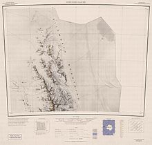
 Northern Sentinel Range map.
Mount Goldthwait (77°59′S 86°03′W / 77.983°S 86.050°W / -77.983; -86.050) is a prominent mountain (3,815 m) located 2.5 nautical miles (4.6 km) south of Mount Dalrymple in the north part of the Sentinel Range, Antarctica. Discovered by the Marie Byrd Land Traverse Party of 1957–58, under Charles R. Bentley, and named for Richard P. Goldthwait, consultant, Technical Panel on Glaciology, U.S. National Committee for the IGY, and later Director, Institute of Polar Studies, Ohio State University.[2]
See also
References
 This article incorporates public domain material from "Mount Goldthwait". Geographic Names Information System. United States Geological Survey.