Urta Tagay
Urta Tagay
rus. Урта-Тагай | |
|---|---|
| Riječni otok | |
Zemljovid otoka | |
| Položaj | |
| Koordinate | 37°28′N 69°28′E / 37.467°N 69.467°E |
| Država | |
| Rijeka | Pjandž |
  Urta Tagay Urta Tagay na zemljovidu Afganistana  | |


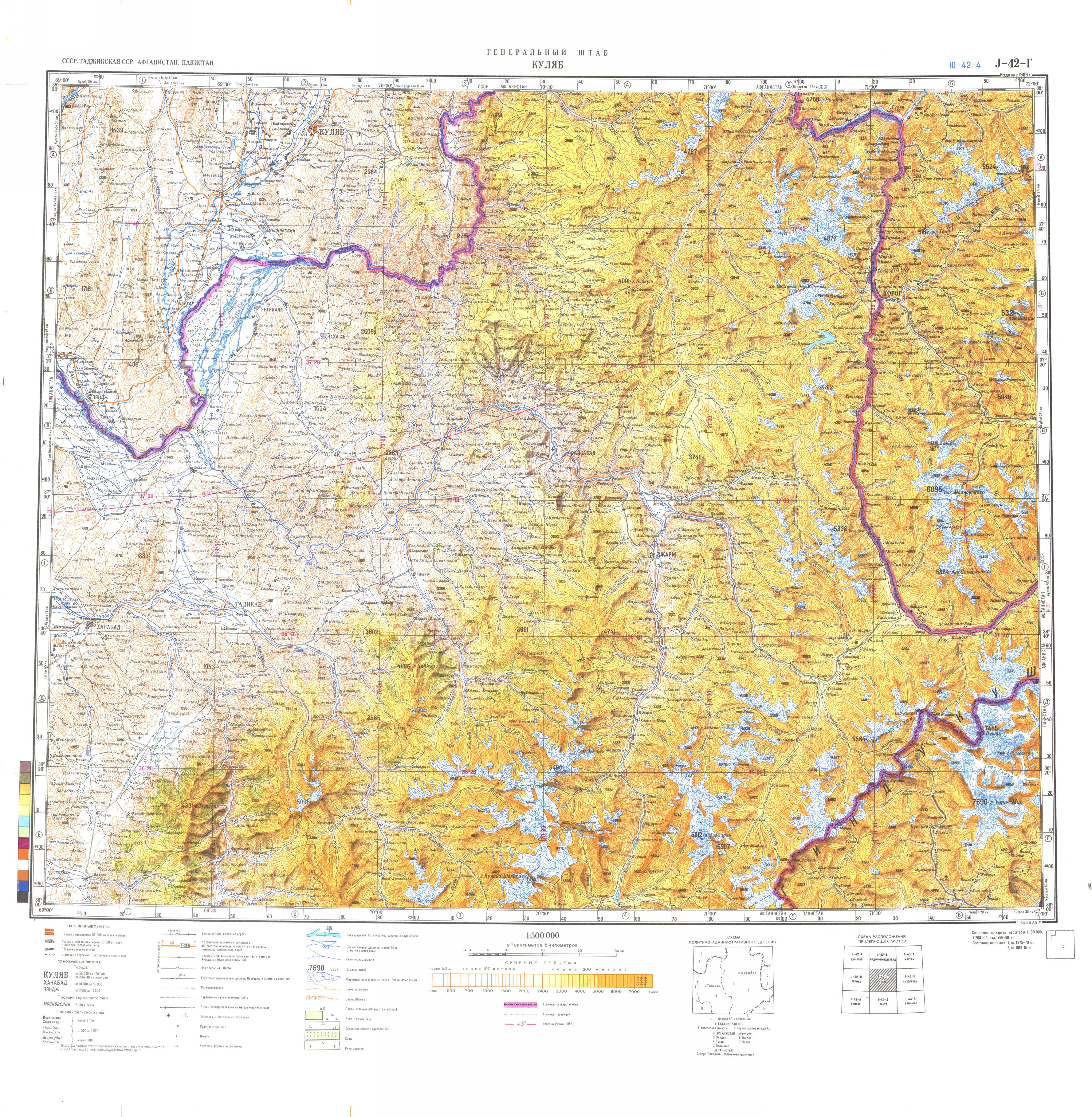
Urta Tagay (rus. Урта-Тагай) je otok na rijeci Pjandž (izvorišni tok rijeke Amu Darje) na granici Afganistana i Tadžikistana u središnjoj Aziji. Nalazi se između gradova Farkhor i Yangi Qala.[1] Njime upravlja provincija Takhar, Afganistan.
Povijest
Otok je bio predmet dva granična sukoba: jedan se zbio 1913., a drugi 1925. godine.[2]
Godine 1925., sovjetske trupe su okupirale otok, tvrdeći da se glavni kanal rijeke pomaknuo prema jugu otoka, ostavljajući otok na sovjetskom teritoriju. Unatoč diplomatskom zahtjevu, vjeruje se da je otok zauzet kako bi se spriječilo uzbekistanske pobunjenike da prijeđu rijeku i napadnu Sovjete. Kabul je prosvjedovao zbog zauzimanja otoka, a spor je iznesen zajedničkoj komisiji koja je odlučila u korist Afganistana. Otok je kasnije vraćen Afganistanu.
Literatura
- J. Bruce Amstutz. Afghanistan: The First Five Years of Soviet Occupation. DIANE Publishing, 1994 ISBN 0-7881-1111-6, 978-0-7881-1111-2. Dostupno ovdje.
Izvori
- ↑ Soviet military map J-42-Г (1:500,000)
- ↑ Panin, Sergei Borisovich. 1. rujna 1999. The Soviet-Afghan conflict of 1925–26 over the Island of Urta-Tugai. The Journal of Slavic Military Studies. 12 (3): 122–133. doi:10.1080/13518049908430405. ISSN 1351-8046
Content Disclaimer
Informasi ini disarikan dari Wikipedia dan disajikan kembali untuk tujuan edukasi. Konten tersedia di bawah lisensi CC BY-SA 3.0. Kami tidak bertanggung jawab atas ketidakakuratan data yang bersumber dari kontribusi publik tersebut.
- The information displayed on this website is sourced in part or in whole from Wikipedia and has been adapted for the purpose of restating it. We strive to provide accurate and relevant information, however:
- There is no guarantee of absolute accuracy. Wikipedia is an open, collaborative project that can be edited by anyone, so information is subject to change.
- It is not intended to constitute professional advice. The content displayed is for informational and educational purposes only. For important decisions (e.g., medical, legal, or financial), please consult a professional.
- Content copyright. Wikipedia is licensed under the Creative Commons Attribution-ShareAlike License (CC BY-SA). This means that content may be reused with appropriate attribution and shared under a similar license.
- Responsible use. Any risk arising from the use of information from this website is entirely the responsibility of the user.