Island in Estonia
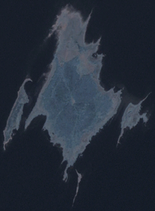
Kasselaid is a 49.92 ha (123.4 acres)[1] uninhabited Estonian islet in the Gulf of Riga, about 300 m (980 ft) east of the island of Abruka. Administratively, it belongs to the Abruka village in Saaremaa Parish, Saare County. The island is part of the Abruka Nature Reserve.
 Kasselaid (right) on the satellite image with neighbouring islands
See also
References
- ^ "Kasselaid" (in Estonian). EELIS – Estonian Nature Infosystem. Retrieved 24 May 2011.