Ground Radar Early Warning station

Fogo Island Radar Station
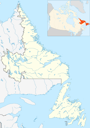
Location of Fogo Island Radar Station, Newfoundland
Fogo Island Radar Station (Quad) was a United States Army General Surveillance Ground Radar Early Warning Station in the Dominion of Newfoundland.[1][2] It was built during World War II and responsible for monitoring air traffic from Gander to Goose Bay and into the Atlantic Ocean.[3] It was located in Sandy Cove, Fogo Island 260 kilometres (160 mi) north-northwest of St. John's.[4] It was closed in 1945.[5]
History
The site was established in 1942 as the first United States Ground Radar Early Warning Station, funded by the United States Army,[6] which stationed the 685th Air Warning Squadron on the site under operational control of Newfoundland Base Command at Pepperrell Air Force Base.[7] The station was assigned to Royal Canadian Air Force in November 1944, and was given designation "No 44 RU".[8] The RCAF operated the station until 1 October 1945.[9]
It operated an SCR-270 manned Early-warning radar.[10]
United States Army Air Forces units and assignments
Units:
- Inactivated November 1944
Assignments:
References
 This article incorporates public domain material from the Air Force Historical Research Agency
- Cornett, Lloyd H. and Johnson, Mildred W., A Handbook of Aerospace Defense Organization 1946 – 1980,[1] Archived 13 February 2016 at the Wayback Machine Office of History, Aerospace Defense Center, Peterson AFB, CO (1980)