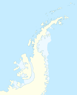
| St. Isidore Island
|
| Gewässer
|
Matha-Straße
|
| Inselgruppe
|
Biscoe-Inseln (Westantarktika)
|
| Geographische Lage
|
66° 26′ 18″ S, 67° 5′ 41″ W-66.43833-67.09472Koordinaten: 66° 26′ 18″ S, 67° 5′ 41″ W
|
 St. Isidore Island (Antarktische Halbinsel) St. Isidore Island (Antarktische Halbinsel) |
|
| Länge
|
1,65 km
|
| Breite
|
890 m
|
| Fläche
|
60,3 ha
|
| Einwohner
|
unbewohnt
|
St. Isidore Island (englisch; bulgarisch остров Св. Исидор ostrow Sw[eti] Isidor) ist eine vereiste, in südwest-nordöstlicher Ausrichtung 1,65 km lange, 890 m breite und 60,3 Hektar große Insel im Archipel der Biscoe-Inseln westlich der Antarktischen Halbinsel. Sie gehört zu den Barcroft-Inseln und liegt 2,4 km nordöstlich von Bedford Island, 330 m ostnordöstlich von Chakarov Island, 1,5 km südöstlich von St. Brigid Island und 1,9 km südlich von Irving Island.
Die bulgarische Kommission für Antarktische Geographische Namen benannte sie 2020 nach dem Heiligen Isidor von Sevilla (≈560–636).
Weblinks