Gnu Butte
| Gnu Butte | ||
|---|---|---|
| Höhe | 1770 m | |
| Lage | Cassiar Land District, British Columbia, Kanada | |
| Gebirge | Tahltan Highland | |
| Koordinaten | 57° 32′ 21″ N, 130° 44′ 34″ W | |
| Topo-Karte | NTS 104 G 10 | |
| ||


Der Gnu Butte ist ein Härtling im Cassiar Land District im Nordwesten der kanadischen Provinz British Columbia.
Geographie
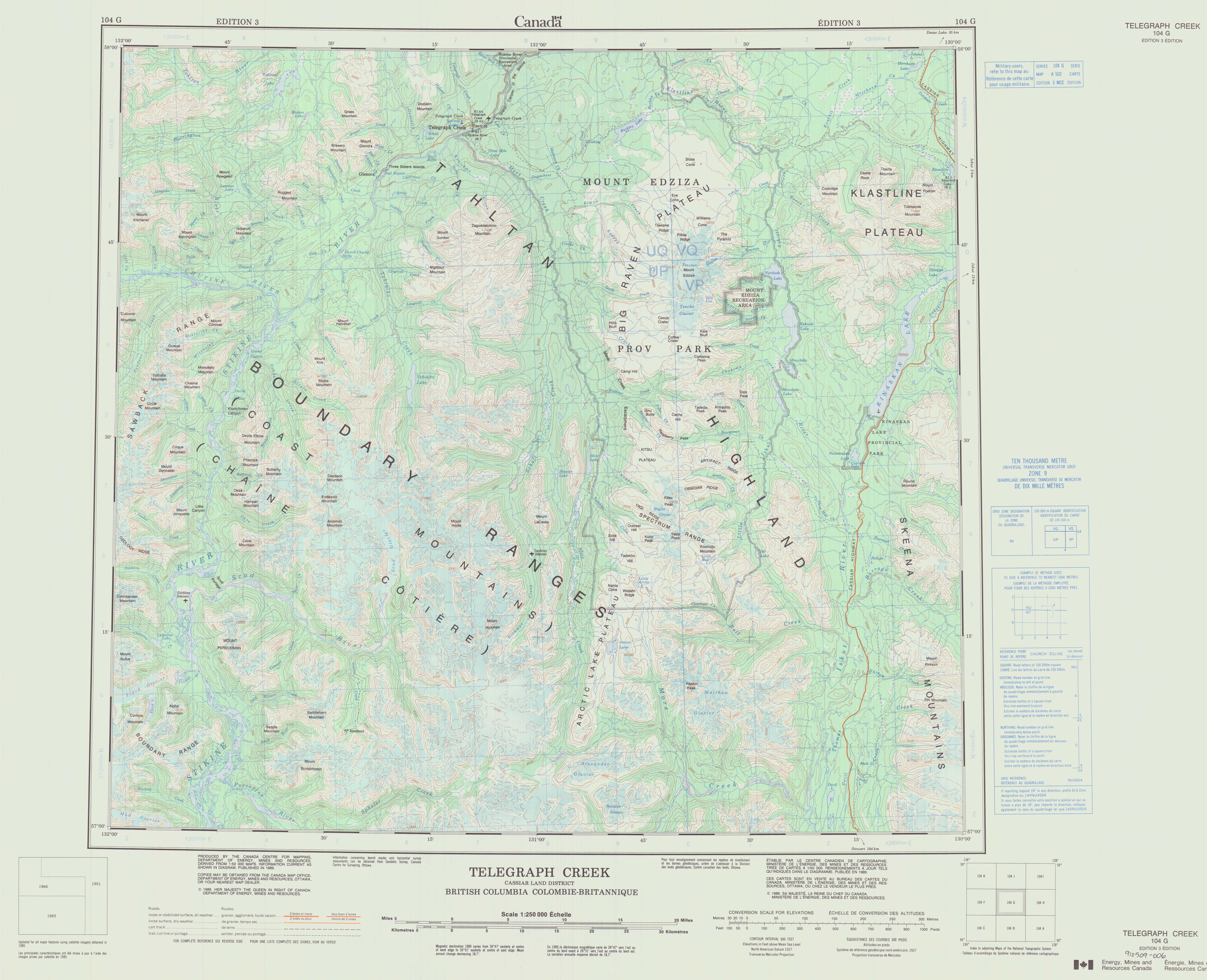
Der Gnu Butte liegt südöstlich von Telegraph Creek an der Nordwestseite des Raspberry Pass.[1] Die westliche und die südliche Seite des Berges werden vom Raspberry Creek umströmt, während die Ost- und die Nordseite vom Flyin Creek umflossen werden.[2] Der Gnu Butte liegt auf dem Tahltan Highland zwischen Mess Lake und Mowdade Lake im Mount Edziza Provincial Park.[1][2] Er wurde aufgrund seiner Ähnlichkeit mit flachgipfligen Hügeln in Teilen Afrikas benannt.[1]
Geologie
Der untere Teil des Gnu Butte besteht aus Basaltströmen der Raspberry-Formation im Mount Edziza Volcanic Complex. Sie werden von sanft fallenden Bänken aus Sandstein und einem Konglomerat aus dem Alttertiär überlagert. Der obere Teil des Härtlings besteht aus Basalt, Comendit und epiklastischen Ablagerungen der Armadillo-Formation, einer weiteren stratigraphischen Einheit des Mount Edziza Volcanic Complex. Die epiklastischen Ablagerungen bestehen aus Kies und dem Geröll von Erdrutschen, das aus mächtigen comenditischen Lavaströmen stammt, welche einen Gebirgskamm in Nachbarschaft zum Gnu Butte bilden.[3.1]
Siehe auch

- Geographie von British Columbia
- Geologie von British Columbia
- Vulkanismus in Kanada
- Vulkanismus des Mount Edziza Volcanic Complex
Weblinks
- Wetter am Gnu Butte (englisch)
Einzelnachweise
- ↑ a b c Gnu Butte. In: BC Geographical Names (englisch), abgerufen am 11. Januar 2024.
- ↑ a b Department of Energy, Mines and Resources (Hrsg.): Telegraph Creek, Cassiar Land District, British Columbia (Topographic map). "A 502" [Karte], Maßstab 1:250.000 (= 104 G). 3. Auflage. 1989 (englisch, französisch, si.edu).
- ↑ J. G. Souther: The Late Cenozoic Mount Edziza Volcanic Complex, British Columbia (= Geological Survey of Canada, Memoir 420). Canada Communication Group, 1992, ISBN 0-660-14407-7, doi:10.4095/133497 (englisch).
- ↑ S. 47,71,73,74
Content Disclaimer
Informasi ini disarikan dari Wikipedia dan disajikan kembali untuk tujuan edukasi. Konten tersedia di bawah lisensi CC BY-SA 3.0. Kami tidak bertanggung jawab atas ketidakakuratan data yang bersumber dari kontribusi publik tersebut.
- The information displayed on this website is sourced in part or in whole from Wikipedia and has been adapted for the purpose of restating it. We strive to provide accurate and relevant information, however:
- There is no guarantee of absolute accuracy. Wikipedia is an open, collaborative project that can be edited by anyone, so information is subject to change.
- It is not intended to constitute professional advice. The content displayed is for informational and educational purposes only. For important decisions (e.g., medical, legal, or financial), please consult a professional.
- Content copyright. Wikipedia is licensed under the Creative Commons Attribution-ShareAlike License (CC BY-SA). This means that content may be reused with appropriate attribution and shared under a similar license.
- Responsible use. Any risk arising from the use of information from this website is entirely the responsibility of the user.